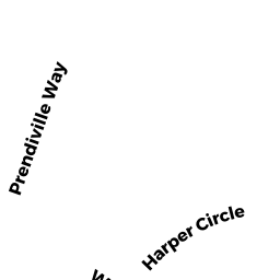
27 HARPER CIR
Owner Information
PLAPPERT ANNA E
27 HARPER CIR
MARLBOROUGH, MA 01752


Property Details
27 HARPER CIR is classified as a Single Family Residential (Colonial).
The primary structure on this property was built in 1987. There are 6008ft2 of built area within this property. There is 3173ft2 of residential/living space within this property. This property is listed as having 11 rooms.
27 HARPER CIR is valued at 584900. The land is valued at 168700 and the structures are valued at 412000. There is an additional valuation of 4200 on this property.
This property is in Zone RR. Confirm with local Zoning Board authorities to ensure there are no overlays or other easements on this property.
The most recent deed for 27 HARPER CIR is recorded at the local registrar in Book 60979, Page 161. 27 HARPER CIR was last sold on 2013-01-15 for 408500.
Assessment data from fiscal year 2021.
Flood Data
According to the FEMA National Flood Hazard Layer, this property does not appear to be in a flood zone. It may also be in an area not yet reviewed. Nonetheless, confirm this information prior to taking any action.
To view the flood hazards around this property, create a FEMA "Firmette" Map of the area around 27 HARPER CIR.
Broadband Internet Providers
| Provider | Type | Bandwidth (mbps) | |
|---|---|---|---|
| Verizon New England Inc. | Fiber | 940 | 880 |
| Viasat Inc | Satellite | 100 | 3 |
| Verizon New England Inc. | DSL | 5 | 0 |
| Comcast | Cable | 1000 | 35 |
| GCI Communication Corp. | Satellite | 0 | 0 |
| HughesNet | Satellite | 25 | 3 |
| VSAT Systems, LLC. | Satellite | 2 | 1 |
Broadband service provider data from December 2020.
Adjacent Properties
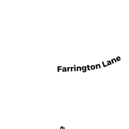
- 51 FARRINGTON LN
Single Family Residential owned by BALINSKI EUGENE W TR - 65 FARRINGTON LN
Single Family Residential owned by CALLOW JOHN R JR - 81 FARRINGTON LN
Single Family Residential owned by ROSE KAREN F - 48 WOODCOCK LN
Single Family Residential owned by TAYLOR SARA - 36 WOODCOCK LN
Single Family Residential owned by VISSAT ROBERT - 45 HARPER CIR
Single Family Residential owned by BRACKETT JOHN R TR